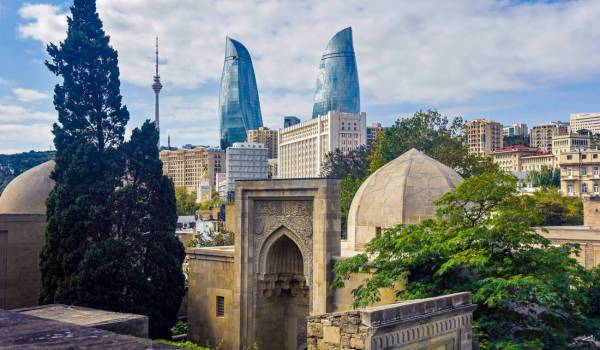
Baku
Zangilan is distinguished by its natural beauty, favorable geographical position, mountain ranges located in the region, unique beauty, steep cliffs, tulip plains, eye-catching forests. Its territory is full of deep ravines.
Before the occupation, Zangilan was a favorite place of the rest in the summer months due to its thermal springs, fresh air, and wide pastures. It is situated in a strategically important location: in the south-west of the Republic of Azerbaijan, on the border with Armenia and Iran. The Bargushad Range (Susan Mountain, 1304 m), which enters the area from the north-west, lowers to form the White Hollow Sloping Plain (400-600 m high) between Bazarchay and Okhchuchay. In the north-east, the slopes of the Karabakh Range lowering to the Araz and Hakari rivers enter the hilly Geyan steppe.
The climate is mainly mild in the area. Araz, Okhchuchay, Hakari, and Basitchay rivers flow through the territory of the region. Zangilan is rich in such minerals as building stone, lime, gold, black marble, etc.
Zangilan is the second-largest deposits of gold in the country after Kalbajar. The region's natural resources have been plundered for almost 30 years by 2020: everything from gold to decorative stones has been appropriated.
Gold stolen from the deposits of Kalbajar's Soyudlu and Zangilan's Vejneli was put up for sales on foreign exchanges, and the profits were deposited in the country's banks.
Zangilan Chinar forest is a source of green charm and gives a special, irreplaceable beauty to the Zangilan region. Zangilan Chinar trees are one of the 8 species of plane trees growing in the world. Zangilan Chinar trees form the basis of the plane tree species spread in Azerbaijan. This type of plane tree is called the Oriental Chinar tree. At the time of the Azerbaijan Democratic Republic, the Chinar forest in Zangilan, with an area of about 120 hectares, belonged entirely to Azerbaijan.
In the first years of Soviet rule in Azerbaijan, with the transfer of Zangazur lands to Armenia, part of the trees of the Chinar forest in the Basitchay valley - along the Kachin and Shikhavuz river valleys - remained in the villages of Nerkin-Hand, Sav, and Shikhavuz in the Gafan region of present Armenia. Thus, the Armenians occupied part of the Chinar forest at the hands of former Soviet patrons.
For years, the occupying Armenia has carried out "environmental terror" in the Zangilan region by 2020. The trees cut down from the Zangilan forests were transported by Armenians to neighboring countries. In particular, Chinar trees in Beshitchay National Park were cut down by Armenian invaders and sold to foreign companies, which produce construction materials.
Zangilan is a region with high tourism potential. Beshitchay State Reserve with an area of 107 hectares, Arazboyu Reserve with an area of 2.2 thousand hectares, 4 natural monuments, 10 thousand hectares of specially protected Araz oak forest, 12,864 hectares of state forest fund, up to 1200 natural springs, mineral springs corresponding to the composition of Essentuki-4, Turshsu mineral springs. Beshitchay National Park, founded in 1974, has rare trees, some of which are 1200-1500 years old. All this is an indicator of the region's tourism potential. Occupied in 1993, Zangilan was liberated from the enemy as a result of a successful counter-offensive launched in Karabakh by the Azerbaijani Army on September 27, 2020. However, as a result of 27 years of occupation, Zangilan's wealth was destroyed by the enemy, and the infrastructure was ruined.
In the near future, the region will be revived, medical sanatorium-type tourism facilities will be built here, as it is rich in thermal waters. In addition, the areas of various historical monuments, shrines of Christianity and Islam will represent religious-pilgrimage tourism, and mountainous areas will be for mountain-sports tourism.