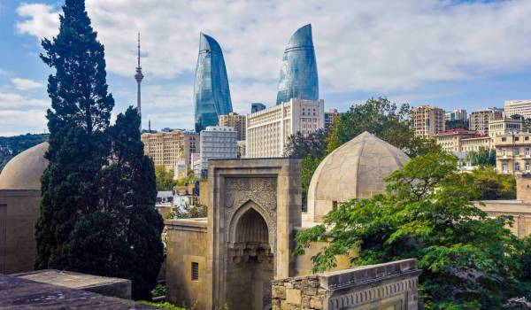
Baku
Barda region is ancient and based on rich roots. Barda, one of the central regions of Azerbaijan, was organized in 1930.
It is located in the northwestern part of the Kura-Araz plain. The district is connected with other districts of the republic by road, the capital of the republic, Yevlakh city, Agdash, Ujar, and Kurdamir districts by railway. The surface of the region is a low-sloping and undulating plain, covered with sediments of the anthropogenic system. There are deposits of clay, gravel, and sand, near the village of Muganli there is a natural spring of therapeutic value.
The climate is moderately hot, dry subtropical. There are two lakes near each other on the right side of the Barda-Tartar road, 3 km from the district center. The third lake called Agali is 23 km away from Barda. On the Barda-Tarter road, 3 km from Barda, there is a hot sulfur spring - Istisu.
The Tartar and Khachin Rivers flow through the region, and the Kura River flows along the northeastern border. Natural vegetation is mainly dry desert and semi-desert type. There are sparse Tugai forests (a total area of 7.3 thousand ha) on the banks of the Kura River. Barda is prohibited in the region.
A number of historical monuments have been preserved in its territory until today: the Ibrahim Mosque of the 8th-9th centuries, Bahram Mirza's tomb, Akhsadan Baba's tomb, Barda's tomb, Nushaba Castle built by Nakhchivani Ahmed Ibn Ayyub Hafiz, who was trained by the Ajami school of architecture in 1322, Toprak Castle, Juma mosque, 2 bridges over the Tar-Ter River are among these monuments.
Archaeological excavations tell about the material culture of Barda a stone with inscriptions and special markings idols, clay of different shapes and metal lamps, clay candlesticks, ancient monuments, and large and small items of Barda It tells about the ancient culture. In the 9th century, The Barda carpets have their fame to this day kept.